14 JUN 15
Roan Highlands: Day 2
Carver’s Gap- Overmountain Shelter
Miles today: 9.3 total (8.7 AT miles)
“Today is your day! Your mountain is waiting. So… get on your way.”
Dr. Seuss
 A few interesting things happened today, especially AFTER the hike.
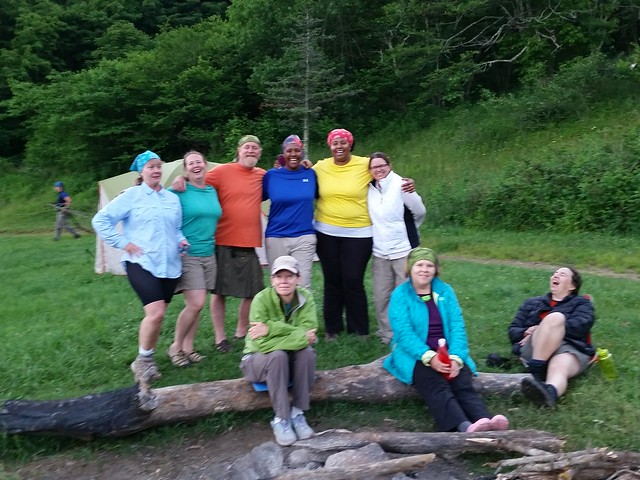
In the morning, I made small talk with Trail Magic and Jukebox. Jukebox is crazy, and I see how he got his trail name. Every 5 minutes or so he’d break off in some random song, from Missy Elliott to the Lumineers to everything in between. Seemed like everyone (except the big group with the family tents) was eventually heading to the same place- 19E. Mog & Loopy were hiking back to their car at Mountain Harbour, Trail Magic & Jukebox were going to stop for a spell, and Turtle, Lone Ranger (Mary) and the rest of their group were going to stop at Doll Flats for the night, then hike in to Mountain Harbour the next day. Emmy & Zachary were hiking on to Damascus I think.
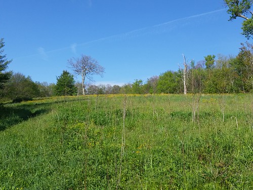
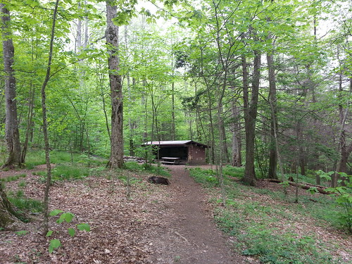
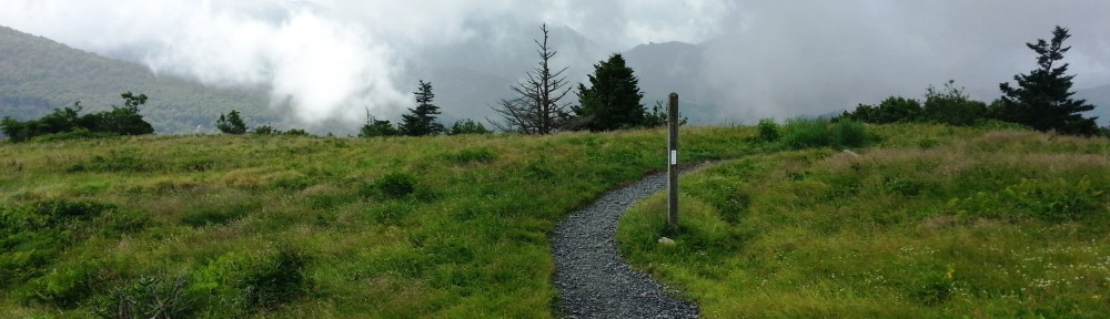
Overmountain Shelter
As much fun as I had last night, I considered stopping short at Doll Flats to camp out with the ladies, but hiking only 6 miles and stopping an hour from 19E seemed like a waste of a day, so I pressed on.
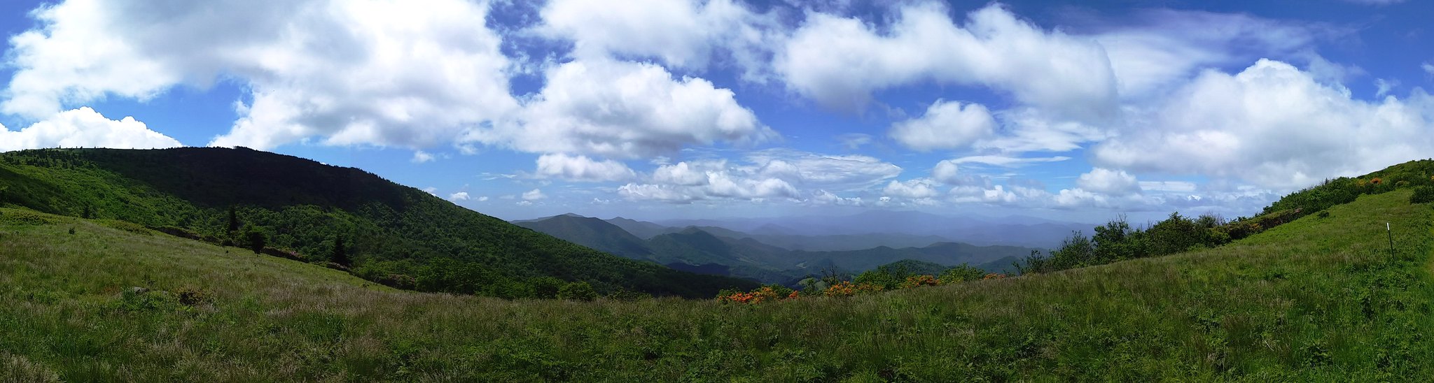
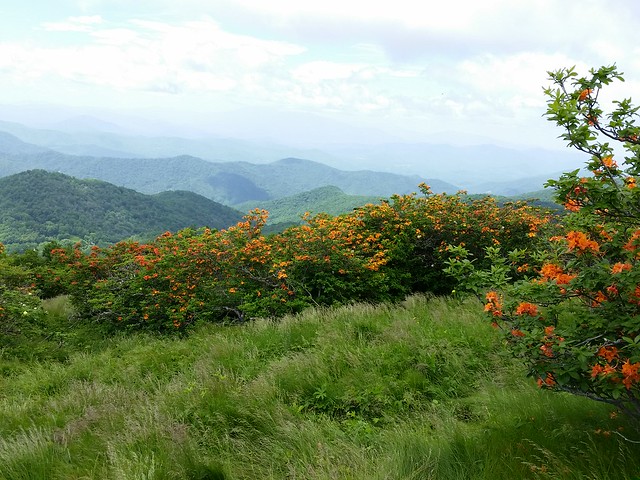
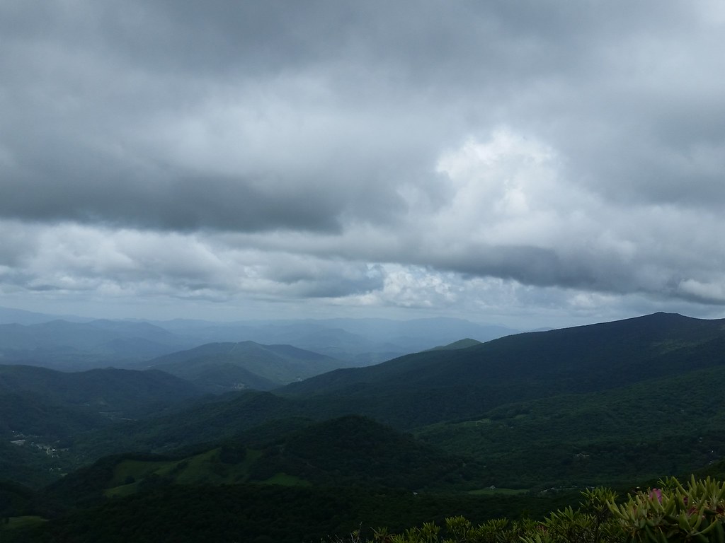
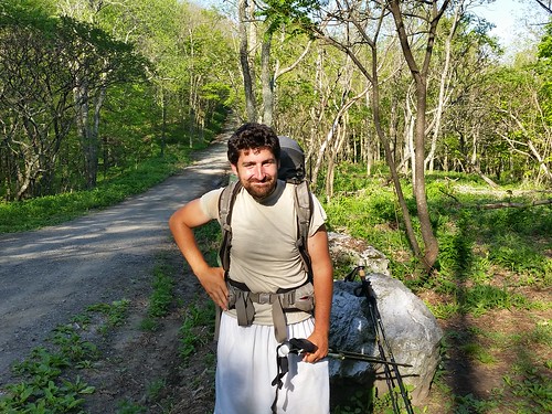
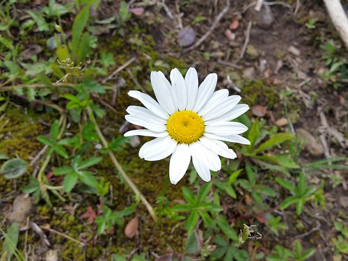
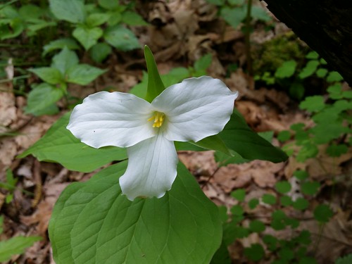
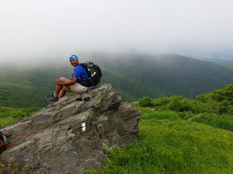
On the way up towards Little Hump I spotted the rare Gray’s Lily in a couple of spots, but because the clouds were rolling in making everything dark, I couldn’t get a decent picture of them. Once I emerged from a small thicket, the wind started whipping and the entire walk up Little Hump was obscured in a cloud. Visibility was down to about 50 meters according to my pace count. I ran into Emmy and Zachary and they gave me one of their “Hoo Rags” (kinda like a Buff) and we posed for a couple pictures.
Gray’s Lily!
Fun Fact: Gray’s Lily is a rare species only found in a few high-elevation meadows in North Carolina, Tennessee, and Virginia.
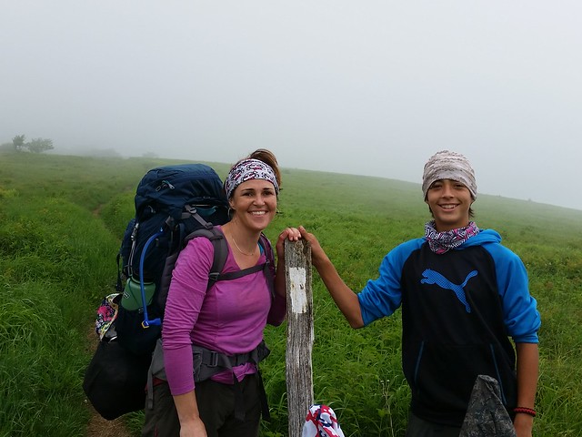
Emmy and Zach
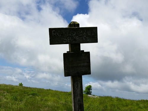
Having a lighter pack (and being in better shape) definitely made the trek easier, and before I realized it, I was at the summit of Little Hump Mountain (mi 384.7, elev 5,459 ft). There was a rock I remembered standing on last year- that was the only way I could tell I was at the top.
Coming down towards Bradley Gap (mi 386, elev 4,950 ft) (near my campsite from last year) who did I run into but the 3 guys (and Owen!) from yesterday. They’d spent the night on Little Hump. I ran into a few other hikers and made sure to tell them that there are a few “false summits” going up Big Hump, meaning you’ll think you’re at the top, but the terrain will level off a bit then start going up again.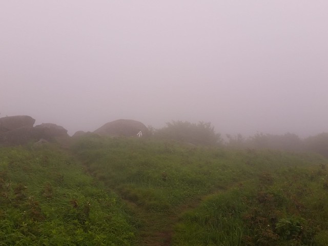
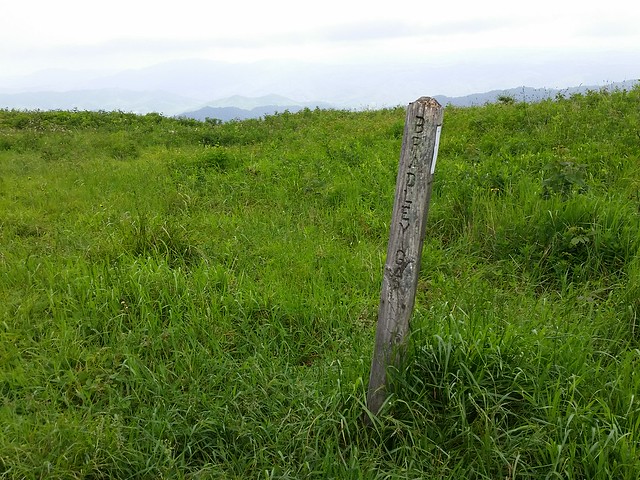
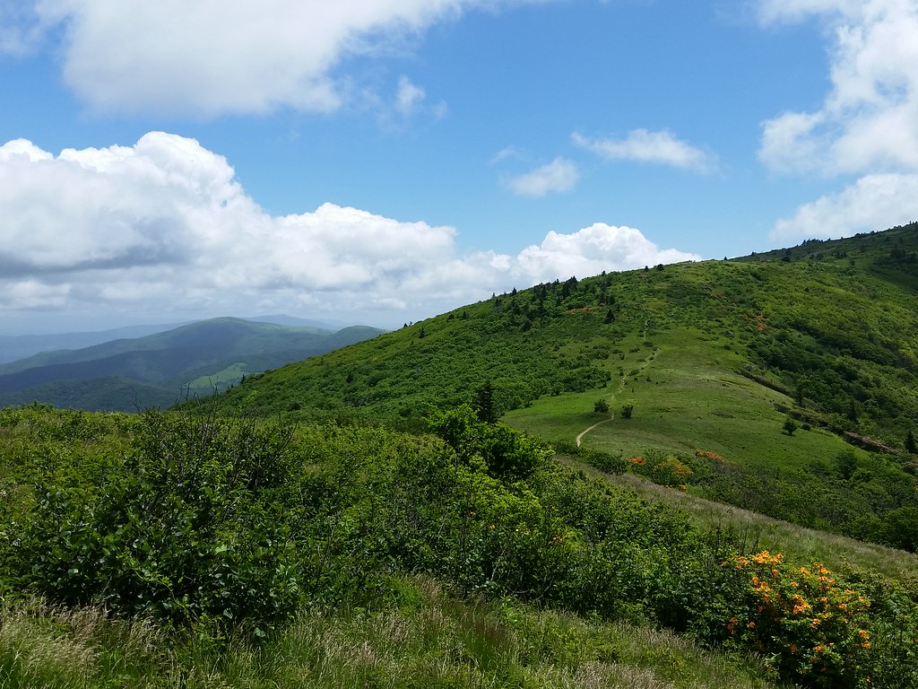
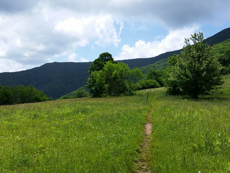
Bradley Gap
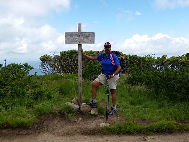
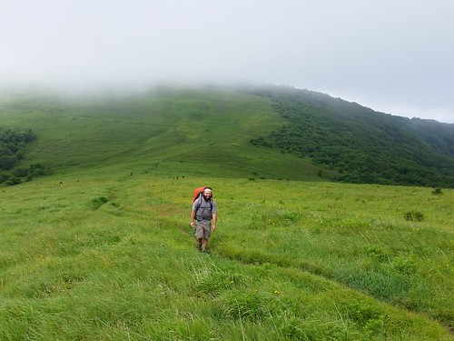 It wasn’t before long that Jukebox & Trail Magic came bounding up behind me. Trail Magic didn’t bound so much as SKIP up the trail. Oh to have the energy of a twenty-something again. The clouds started clearing a little when we started ascending Hump, but not to where you could see the characteristic treeless dogleg going up. Shame, because that is an awesome sight, but the wind whipping and clouds zipping by made it a treat just the same. Also, last year it took me over an hour to hike from Bradley Gap to the summit of (Big) Hump Mountain (mi 386.9, elev 5,587 ft). This year I got up there in less than 40 minutes, including stopping for a few “photo ops”. Good times.
 The hike back down Hump was the same rock-infested trail I recalled from from last year until I got to Doll Flats (389.3, elev 4,600 ft), where it abruptly turned into yet another knee-shattering descent.
Lone Ranger had stopped by to take a break and said she was hiking all the way to to the B&B. Way to go! Since I was in no particular hurry, I pretty much meandered the rest of the way to US 19E (mi 391.8, elev 4,600 ft) and the quick .3 miles to Mountain Harbour. Note- when coming down the trail NOBO, cross US 19E as soon as you come to the road- There is limited sight distance and high speed traffic!
Once I got there & dropped my pack, I realized the blond guy that looked familiar was none other than Country Gold. He’d hurt himself going up Roan and was doing a work-for-stay deal at the hostel. Initially I was going to take the king bed, but at $55 I thought it was better to take a bunk in the loft for cheaper and leave the big bed for a couple. Good move because one came in later that night.

Mountain Harbour B&B (the hostel is in a barn to the right)
Trail Magic & Jukebox were sprawled out on the couch & floor, along with another guy. More and more hikers started filtering in; Lebo, who was hiking from Harper’s Ferry to Hot Springs, and Randy, who was doing a NOBO section from Erwin to Watauga. The three of us ended up claiming 3 of the 4 bunks in the loft. After I grabbed a shower, offered the guys a couple beers I had bought in Charlotte & stashed away in my truck (good move!) and chewed the fat for a bit.
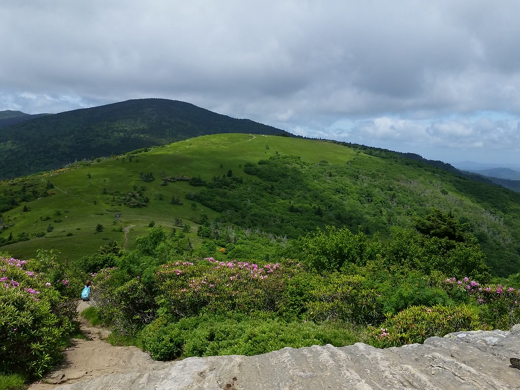
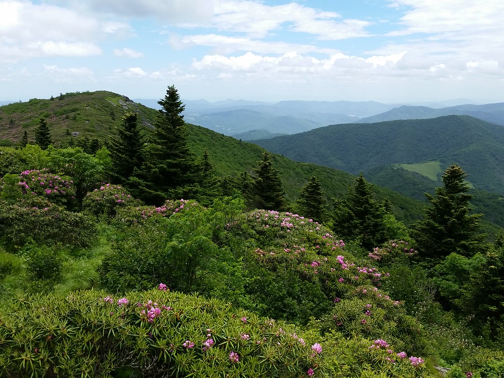
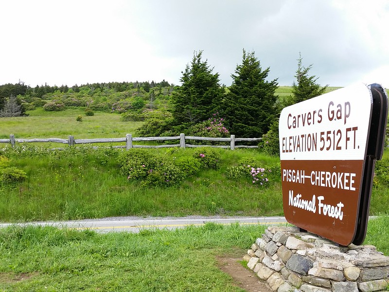
Around 5 I drove back up to Carver’s Gap to see the Rhododendron Gardens on Roan Mountain. The drive up was pretty spectacular, and at the top I stopped by the Old Cloudland Hotel site. Last year I walked right past it since there was no view and I was beat from my climb up Roan. Nostalgia made me take a left at the Appalachian Trail junction, and next thing you know I was retracing my steps from last year. It was a whole lot different with the sun shining. My original thought was to walk up to the shelter, but I didn’t bring a daypack or poles- only a bottle of water and it didn’t seem prudent to go up there for nothing. Also, my legs were just a wee bit fatigued.
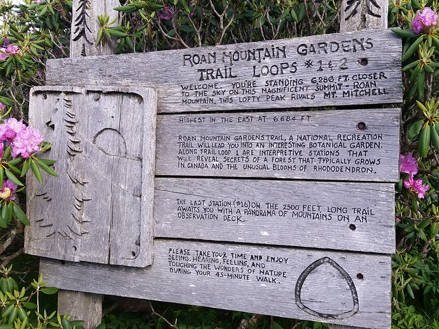
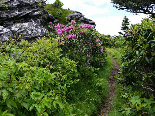
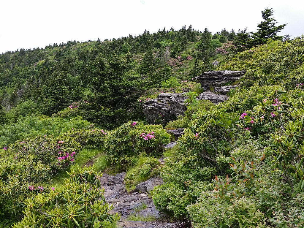
Rhododendron Gardens trail
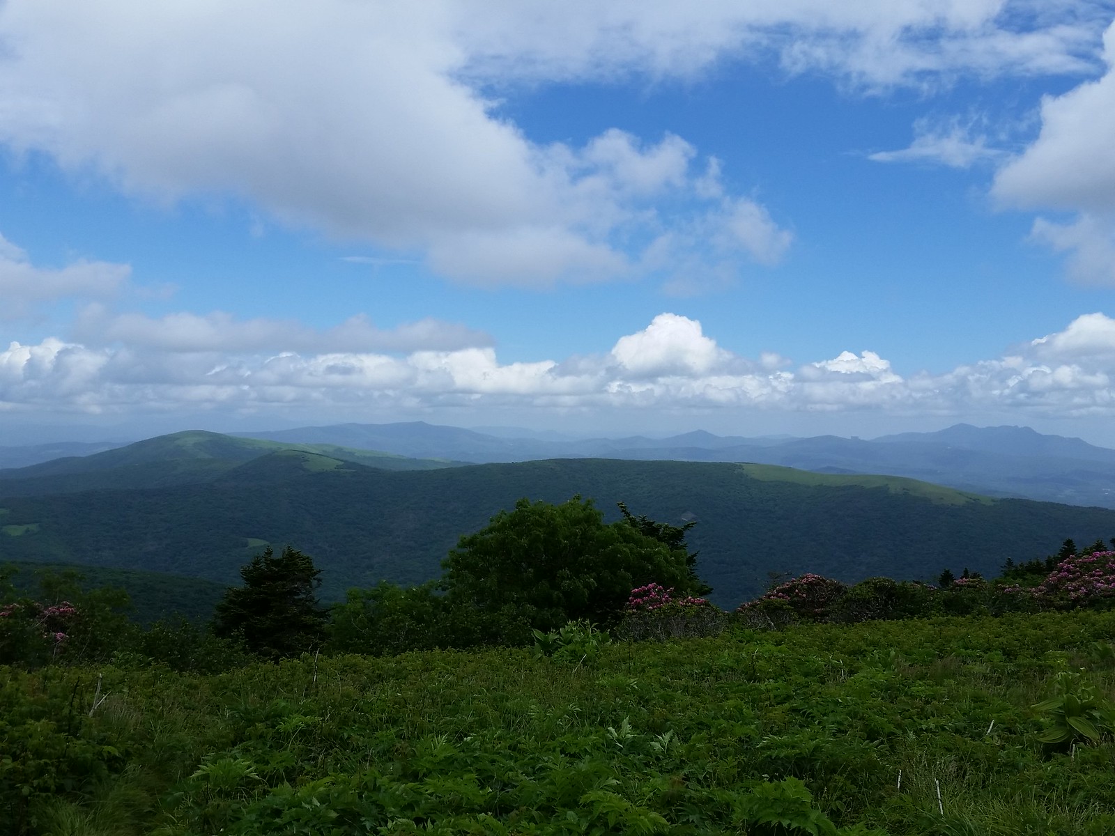
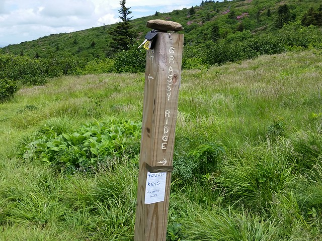
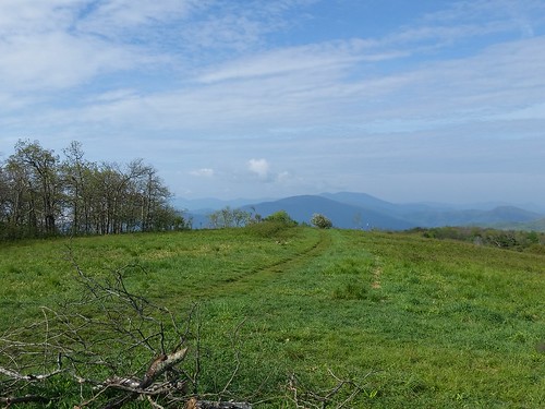
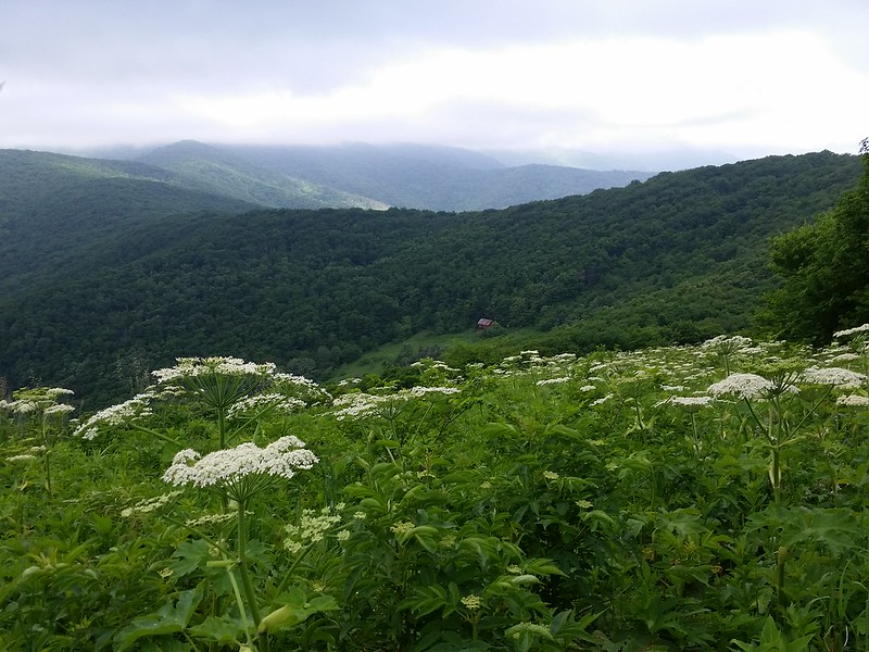
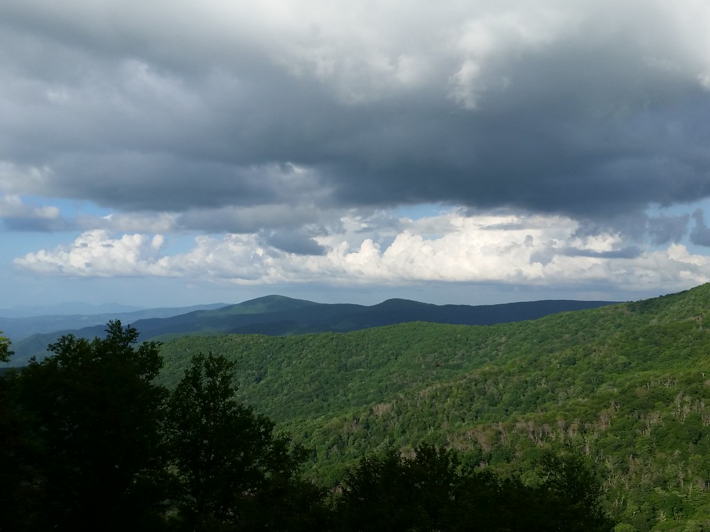
There was a side trail to Roan High Bluff, but at over a mile away I decided against that too, so I walked arround the Gardens for a minute then decided I had seen enough. My belly was rumbling & I’d told some of the guys we’d take a ride to get some food somewhere once I got back. Coming back down the road to Carver’s Gap there was a little pull off where I noticed a view of Grassy Ridge Bald, Little Hump, and Big Hump mountains. Walking them is one thing, but actually seeing mountains you’ve hiked from a distance is completely awe-inspiring.
Randy and the other hiker from earlier (he’s from Charleston, SC but I forgot his name so let’s call him “Chuck”) went to Bob’s Dairyland, one of the TWO restaurants open in little Roan Mountain TN, and a greasy spoon in every sense of the word, but I was there to chow down & chow down I did. Afterwards we scoped out this place called the “Beer Wash”, a little hole in the wall bar that sold all kinds of beer in “mix-n-match” 6 pack cans. Chuck, Randy, and I all got six packs that included Pabst Blue Ribbon, Blue Moon, Yeungling, Rolling Rock, and Corona.

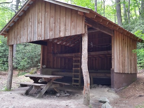
Hostel
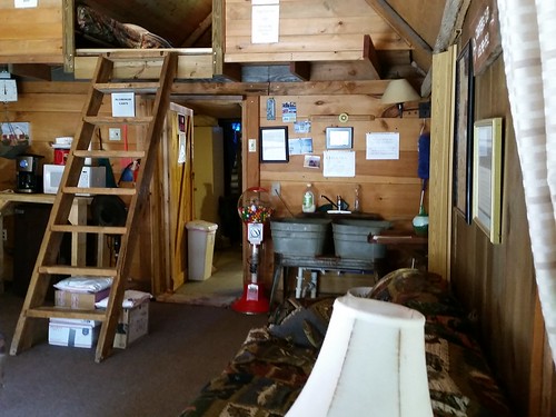
Hostel common area
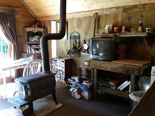
Wood burning stove, library
Back at the hostel things were picking up- not only the hostel was packed, but two ladies with two dogs were camping out back (as was Chuck), the upstairs group from the Overmountain Shelter was camping with their dog, an older couple had a room in the back with 2 cats, and Country Gold had his dog Sunshine with him. At one point in time, there were 4 dogs and a cat roaming around the main room in the hostel. Glad I get allergy shots. Sunshine didn’t help much by barking every time a person or dog or cat or squirrel or what have you walked past her, not to mention the the or four dogs that LIVE at the B&B.
Randy & I stayed up watching Indiana Jones, drinking beer, and shooting the shit until 11:30 pm when my Benadryl kicked in. Good night!

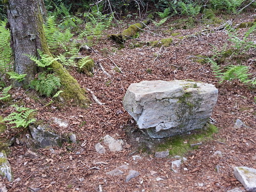
Same location, a year later
Note- From here, it’s 75 miles to Damascus (65 miles to McQueens Gap) to complete the Davenport Gap-Damascus chunk of the Appalachian Trail.